
PEOPLE OF HIN NAM NO
The Hin Nam No National Park offers not only breathtaking natural beauty but also a vibrant cultural heritage that dates back to prehistoric times. The Park has been home to various ethnic groups for centuries, resulting in a highly diverse population with a rich mosaic of traditions and customs.
From the earliest human settlements to the present day, the park’s history is a testament to the resilience and adaptability of its inhabitants, who have learned to live in harmony with the natural world.

PREHISTORY
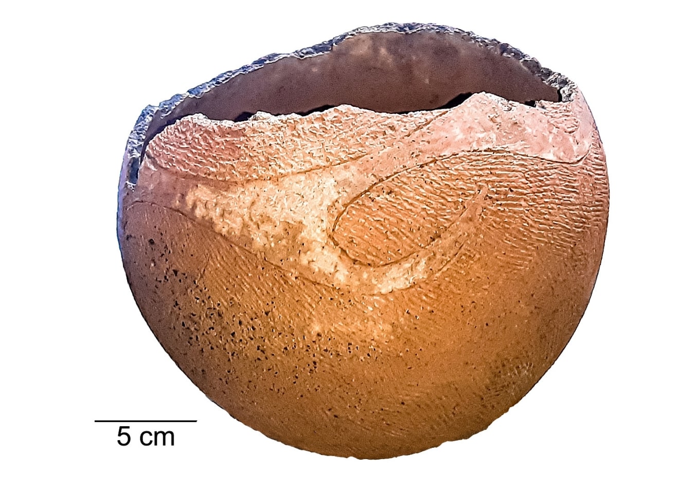
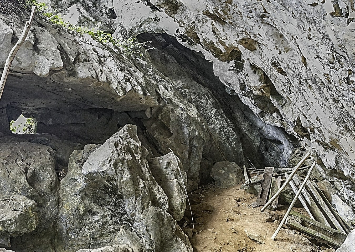
The Hin Nam No (HNN) landscape and its surrounding areas have a rich cultural heritage that likely dates back to early prehistoric times, as attested by the many stone artifacts found around the park. The abundance of habitable caves close to ground level, with nearby sources of food, water and stone suitable for manufacturing tools, led to many being used for shelter and burials in the past. This heritage has been preserved by the rugged landscape and relative isolation of HNN, making it a potential treasury for information on the region's history and prehistory. This prehistoric record likely has great time depth, with specialists expecting the area to have potential for studying the first 'modern humans' to populate Southeast Asia and even Homo erectus.
LAN XANG KINGDOM
Between the 14th and 17th centuries the area now generally occupied by Laos came to prominence as "Lan Xang", a kingdom which prospered from its natural resources and the strategic intersection of north-south and east-west trade routes across the Indochinese peninsular. Hin Nam No was positioned at an important hub on these trade routes, bracketed to the north and south by the important Mu Gia and Ban Karai mountain passes across the Annamite Range. As such, HNN was able to connect a network of trails and rivers to ocean ports, facilitating hundreds of years of trade with Thailand, Vietnam and China. Evidence for this flourishing trade hub has been found in the log coffin burials left by people from that time. Other evidence, such as an early Ban Chang style pot, suggest traces of this trade network may have existed as far back as 3,500 years ago or even earlier.
FRENCH COLONIAL PERIOD
French colonizers (1893-1953), faced significant challenges in accessing landlocked Laos and integrating it with Cambodia and the Vietnamese regions, which had sea ports. To overcome this, they redeveloped the old east-west trade network to accommodate trucks, with sealed roads over the Annamite Range. Although most of these roads became impassable to vehicles by the late 1930s, they represent the first modern transportation system along what has become known as the East-West Economic Corridor of Southeast Asia. Then, as now, the Mu Gia Pass has opened access to the areas of the Hin Nam No and Nakai Nam Theun national parks.
WAR
The centuries-old routes which once brought trade to HNN would later bring conflict from World War II and the Indochina Wars. Part of the old system of navigable rivers and mountain tracks (later developing into the Ho Chi Minh Trail) gained renewed importance during these wars, particularly the Mu Gia Pass at the northern end of Hin Nam No National Park. This pass was used by North Vietnamese troops to supply operations in the south, through neighboring Laos, attracting the largest aerial bombing campaign in history. Hin Nam No, situated between the strategic Mu Gia and Ban Karai mountain passes, was the target of at least 131,271 aerial sorties during the Indochina War, with intense bombing being focused on 'choke points', where precipitous topography squeezed road traffic into narrow, exposed areas. The intense bombing has left a lasting impact on the landscape (bomb craters used as ponds for fishes and buffalos) and local people's memories. Remnants of the war can still be observed in villages along the road (boats made of airplane drop tanks, planters made from bomb casings...) and limestone caves, where local people sheltered from the bombing for nine years. These places are now important historical heritage sites.
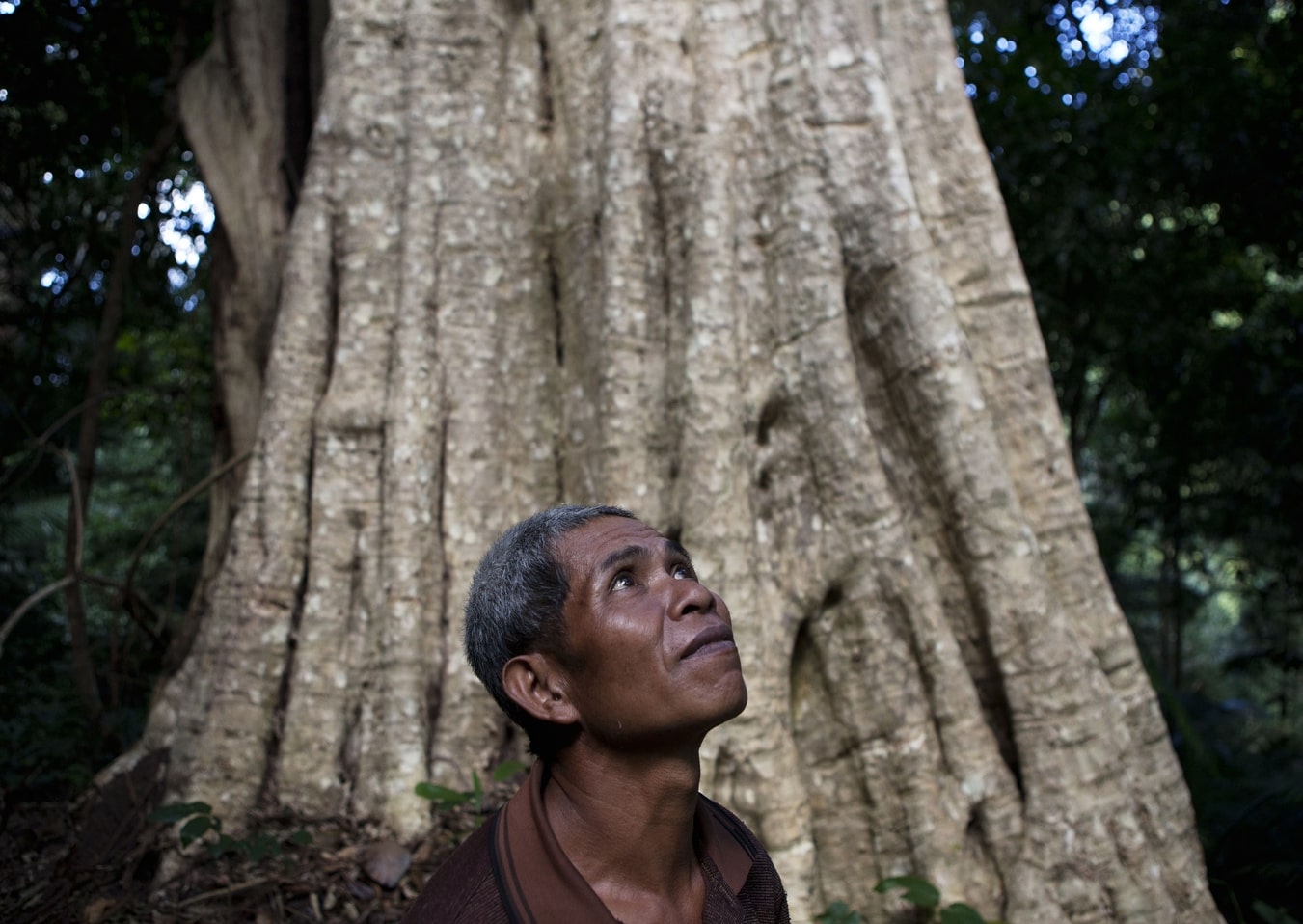
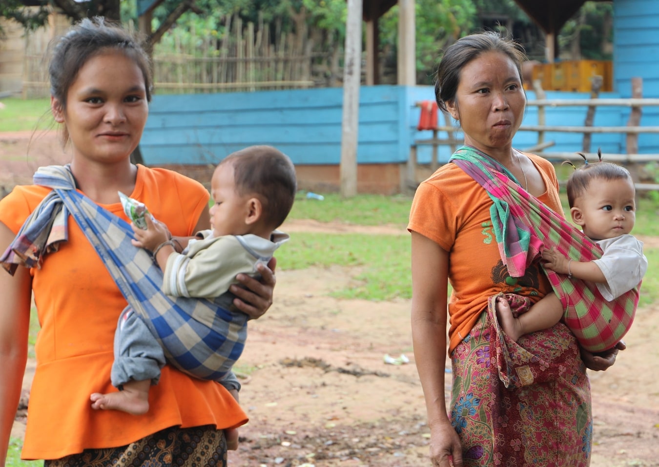
The Hin Nam No National Park region is made up of a highly diverse ethnic landscape with a rich cultural heritage that manifests itself in a remarkable wealth of traditional connections, spiritual belief-systems and ritual practices associated with them. The forest landscape in large areas of the park has been used by ethnic groups for a long time, and they still identify with and use it as part of their ancestral territory. This karst landscape and its neighboring valleys have been inhabited for centuries by hunter-gatherers (Ruc, Arem, Salang) and shifting cultivators (Makong). Different waves of in-migration whether by Lao-Tai groups in the province or Ngwan/Nguon from neighboring Vietnam during the French colonial period have also shaped the demography of the region.
Each ethnicity has its own unique language, way of life, and culture. Most significant cultural practices include coffin-cave-burials, traditional resource and land management practices, and sophisticated local knowledge. They can be divided into three main groups: Tai-Lao, Mon-Khmer, and a mixed group including people who have intermarried between different ethnic groups.
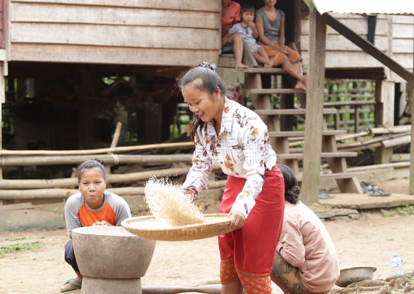
The Tai-Kadai group comprises the Phoutai, Yoi, and Kaleung. It makes up around 40% of the population. They practice Buddhism and are primarily engaged in paddy rice farming in the flat lands surrounding the Hin Nam No National Park.
The Mon-Khmer group is made up of Makong and Tri people, including around 48% of the population. Traditionally they practice animism, speak dialects of the "Brou" language that are mutually understandable, and their livelihoods were based on upland rice farming in shifting cultivation systems.
The remaining 12% of the people of the Hin Nam No region comprises of people that have a longstanding history with the area, such as the Kri (2.5%) or the "Salang", and other not yet classified or identified former hunter-gatherers, like the Ruc or the Arem. Within this category there are also people who inhabit the neighboring region of Phong Nha Ke Bang as well and migrated into the area from Vietnam in prehistoric or recent times, such as the Nguan (2.2%). Finally, there are «intermarried groups, which usually speak Lao and have lifestyles similar to that of the Tai-Lao group, but are often quite poor. For their livelihoods, the people of Hin Nam No depend on paddy rice farming and various types of business, such as boat and bus services. The "Salang" used to live inside the forest of Hin Nam No and were resettled outside the park boundaries in the 1990's. Their livelihoods have been based on hunting and gathering, and they practice animism. They have a wealth of knowledge about the forests, including techniques for finding and storing water in this seasonally dry area, making "Lao Tao" (an alcoholic drink made from palm leaves). hunting wild animals, and using plants as traditional medicine.
It is important to respect the diversity of these communities and their way of life when visiting Hin Nam No National Park. Sustainable tourism initiatives that benefit the local communities and help preserve their culture and heritage should be supported. By doing so, we can have a positive impact on the lives of the people in Hin Nam No National Park and ensure that this unique cultural landscape remains for future generations to enjoy.


Local communities play a vital role in the management and conservation of the Hin Nam No National Park. Through a collaborative management system, 19 villages have been allocated management responsibilities. This includes the appointment of village co-management committees and community ranger teams in each village, who assist park management in patrolling and monitoring biodiversity. The involvement of local communities ensures that their customs and traditions are respected while also preserving the natural environment. Every village includes at least one female community member and representatives from minority ethnic groups.

